
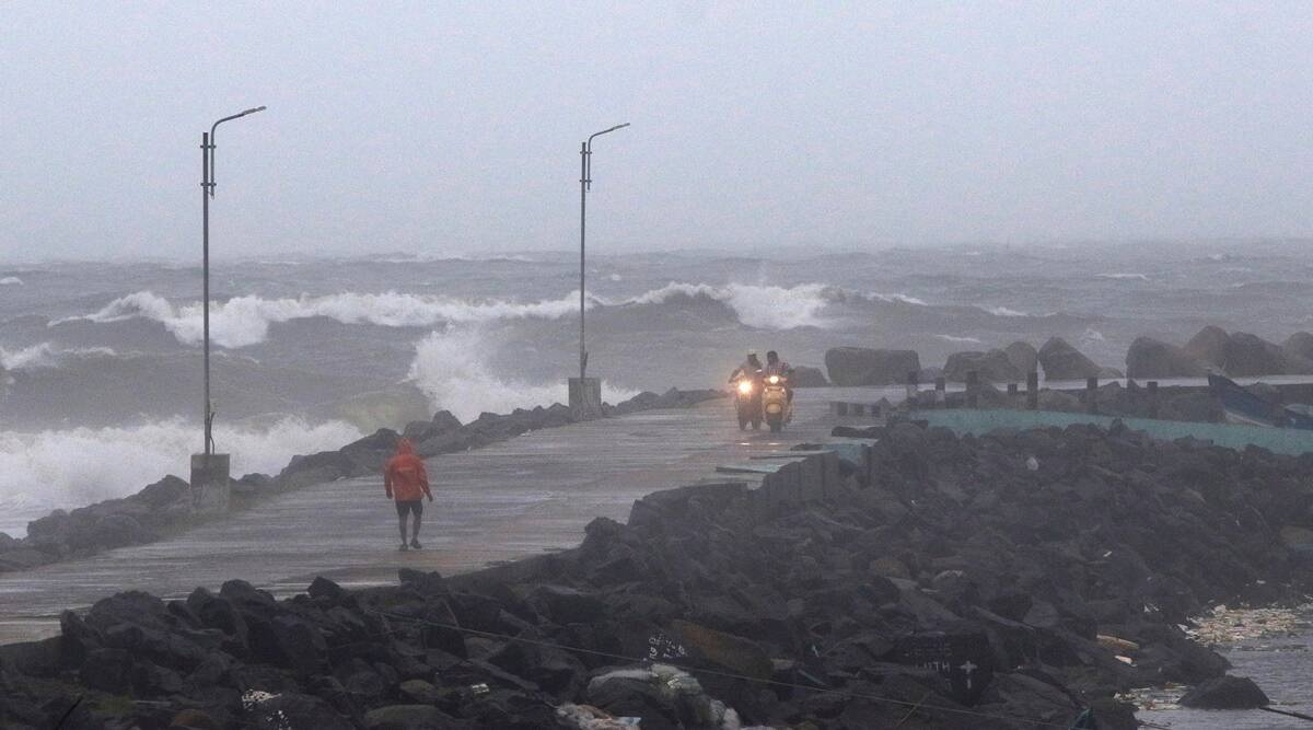
New Delhi (NVI): The India Meteorological Department (IMD) reported that Cyclone Burevi has been downgraded to a deep depression and is expected to be downgraded further to a depression.
Burevi is predicted to cross the Tamil Nadu coast with wind speeds of up to 50-60 kph.
“Deep Depression over Gulf of Mannar at 0530 IST today is close to Ramanathapuram District coast remained practically stationary, about 40 km southwest of Ramanathapuram, 70 km west-southwest of Pamban . The associated wind speed is about 55-65 gusting to 75 kmph,” IMD tweeted.
Significant Weather Features
♦ The Deep Depression over Gulf of Mannar close to Ramanathapuram district coast remained practically stationary during past six hours and lay centered at
0830 hrs IST of today, 04 December over Gulf of Mannar near Lat. 9.1°N and Long. 78.6°E— India Meteorological Department (@Indiametdept) December 4, 2020
The regions have received heavy rainfall since morning. While rainfall is also expected over isolated places of Andhra Pradesh and Andaman and Nicobar Islands.
Southern Tamil Nadu and neighbouring Kerala were put on high alert as the weather bureau had earlier predicted that Burevi would hit the southern shores as a cyclonic storm.
The flight operations were suspended at Thiruvananthapuram International Airport from 10 am to 6 pm today.
Diving and disaster relief teams of the Indian Navy and the National Disaster Response Force continue to be on standby to render necessary support to the administration.
Two Indian Navy ships and four Indian Navy aircraft were deployed for humanitarian assistance and disaster relief assistance and warn fishermen at the west coast of the sea.
The storm slammed into Sri Lanka’s eastern coast on Wednesday night and prompted evacuation of more than 75,000 people.
-CHK


