
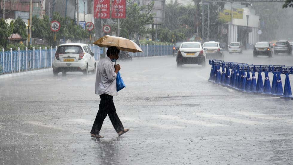
New Delhi (NVI): Rough weather conditions are expected to return over parts of Northeast India, as heavy rains and thunderstorms have been forecast for the next 2 days, starting today.
As per the India Meteorological Department (IMD), a low pressure area and an associated cyclonic circulation are located over central parts of the Bay of Bengal.
The low pressure system has become a well-marked low pressure area over west-central Bay of Bengal in the last 24 hours, and has moved towards north-northeastwards, about 50 km southeast of Sagar Islands (West Bengal) and 200 km west-southwest of Khepupara (Bangladesh), and has concentrated into a depression.
Under the influence of these weather systems, extremely heavy rainfall is likely over Tripura and heavy to very heavy falls at a few places in Nagaland, Manipur, Mizoram, south Assam and Meghalaya this afternoon.
Light to moderate rainfall at many places with heavy rainfall at isolated places likely over remaining districts of Assam, according to IMD.
On October 24, light to moderate rainfall at many places with isolated heavy falls likely over Assam, Meghalaya, Nagaland, Manipur, Mizoram and Tripura.
Owing to these weather conditions, the IMD has placed Nagaland, Manipur, Tripura, and Mizoram under an orange alert from Friday to Sunday. The advisory instructs residents to ‘be prepared’ for the rough weather conditions.
Since the beginning of October, a majority of the northeastern states have experienced below-normal rainfall as compared to their respective long-term averages. Among all states in the region, Mizoram has recorded the highest amount of rainfall at 107.4 mm, followed by Meghalaya (105.9 mm), Tripura (97.2 mm), Assam (90.7 mm), Nagaland (75.5 mm), and Manipur (49.9 mm).
-CHK


