
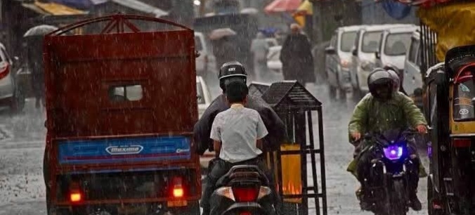
Srinagar, Jul 20 (NVI): Jammu and Kashmir is likely to witness intense rainfall over the next 48 hours due to the interaction of an active monsoon system with a Western Disturbance, raising the possibility of flash floods, landslides and a sharp rise in river water levels, an independent weather forecaster said on Monday.
According to weather forecaster Faizan Arif Keng, a fresh surge of monsoon moisture is expected to reach the Union Territory from Monday night, leading to widespread rainfall across both the Jammu and Kashmir regions.
He said the heaviest rainfall is expected during the next two days, although intermittent rain is likely to continue thereafter.
Keng said the Jammu region may experience heavy to extremely heavy rainfall, increasing the risk of flash floods, overflowing streams and landslides. Water levels in major rivers could rise sharply, while some locations may approach or cross flood alert levels depending on the intensity of rainfall.
For the Kashmir Valley, he forecast widespread moderate to heavy rainfall, with isolated places likely to receive very heavy showers. Flash floods in hilly and mountainous areas and isolated cloudburst-like incidents cannot be ruled out, he said.
The forecaster said tributaries such as the Lidder and Vishow Nallah are expected to witness a rapid rise in water levels, while the River Jhelum is also likely to record a significant increase in discharge.
He also warned of a high risk of landslides, shooting stones and lightning, particularly along vulnerable mountain roads, and advised people to avoid unnecessary travel in hilly areas and stay away from rivers, streams and other flood-prone locations.
Keng urged the district administration, disaster management authorities and emergency response agencies to maintain a high level of preparedness, closely monitor rainfall and river levels, and take timely precautionary measures to minimise risks to life and property.(NVI)