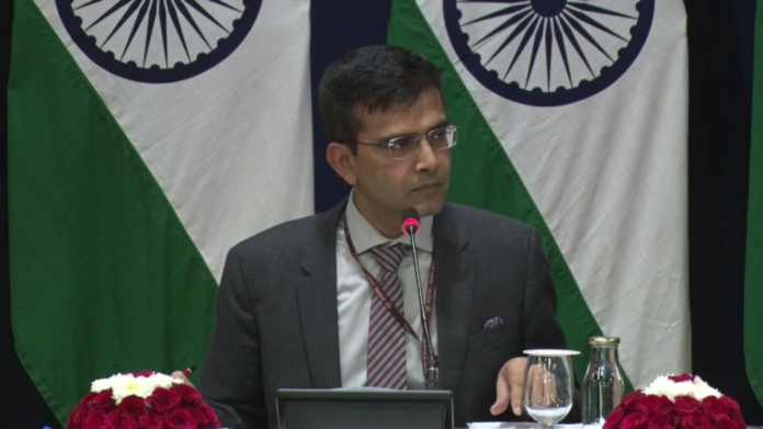
New Delhi (NVI): India said today the country’s new map unveiled recently has not revised its boundary with Nepal and it accurately depicts the sovereign territory of the nation.
Replying to a question on Nepal’s claim that the new map of India depicted Kalapani area in the Indian territory, External Affairs Ministry spokesperson Raveesh Kumar said, “Our map accurately depicts the sovereign territory of India. The new map has in no manner revised our boundary with Nepal.”
He said, “The boundary delineation exercise with Nepal is ongoing under the existing mechanism and we reiterate our commitment to find a solution through dialogue in the spirit of closure friendly bilateral relationship.”
Cautioning against falling prey to vested interests, Kumar said, “I think this is very important to note that both sides should guard against vested interests who are out there to create some differences between the two countries.”
The Nepal government yesterday said the Kalapani area was an integral part of its boundary whereas the new Indian map has put the area in the Pithoragarh district of Uttrakhand.
Two days after the creation of Union territories of Jammu and Kashmir and Ladakh, the government on November 2 issued a new map of India, which significantly included parts of the erstwhile state which are under the illegal occupation of Pakistan and China.


